Custom maps • Field-ready & collectible
Navigation, made meaningful.
We create custom maps for hikers, students, and heritage enthusiasts. Whether it's a topographic print, an offline map app, or a collectible wall map — we make navigation meaningful.
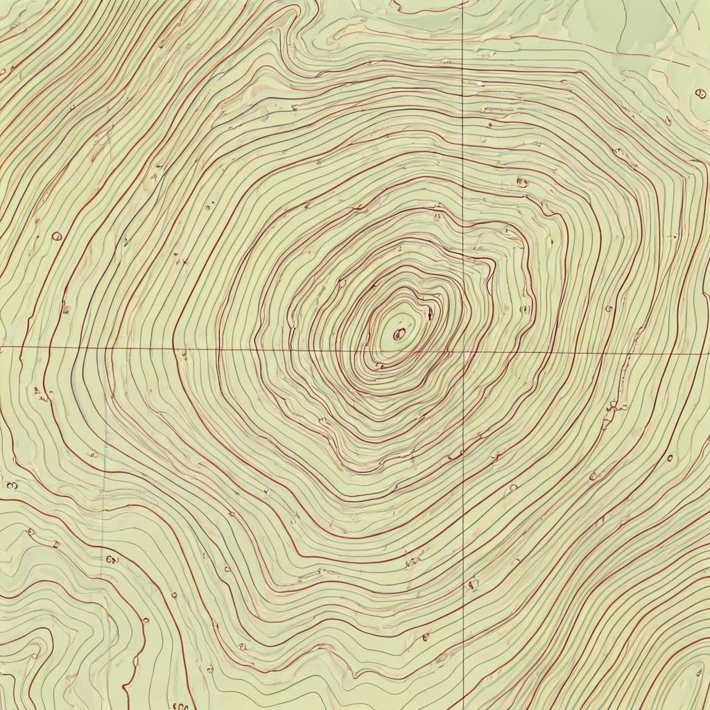
Field Edition • Scale 1:25 000
Contours • Heritage layers • Offline tiles
Services
What we make
🗺️
Topographic Print
Archival inks, shaded relief, custom legend & labels. Frame-ready editions.
📱
Offline Map App
Battery-friendly tiles, GPX overlays, heritage pins, and route notes for no-signal zones.
🧭
Collectible Wall Map
Numbered series with embossing and earth-tone palettes for heritage collections.
Process
From data to direction
01
Scope & Sources
AOI, usage, basemap, DEM, heritage data.
02
Draft & Styles
Contours, palettes, labeling, legends.
03
Deliver
Print files, offline tiles, or framed editions.
Contact
Start your custom map
Send your area of interest, purpose, and any reference layers.